
Precision Topographic Surveys Delivered
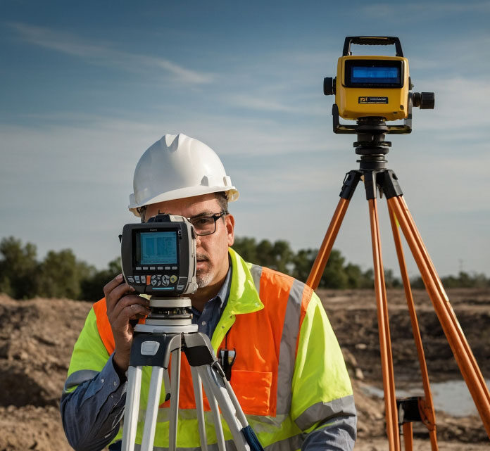
We capture land contours, features, and boundaries with high precision for planning and development success.
Measured Building Survey Specialists
Providing detailed building surveys supporting renovation, construction, and design projects with clarity and confidence.
Drone & Laser Scanning Technology
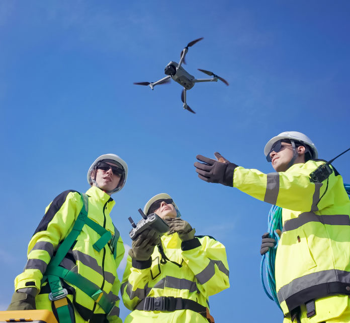
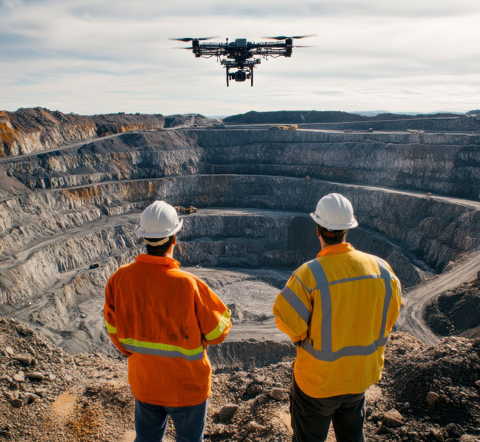
Combining drone photogrammetry and laser scanning for immersive models and AVR-ready visuals across sites.
Survey Solutions Tailored To Your Needs
Accurate Deliverables
Fast Service
Broad Coverage
Full Spectrum Survey Services & Deliverables
Boundary Surveys & Title Plans
GNSS Coordinate & Level Surveys
Drone Aerial & Orthophoto
Laser Scanning & Photogrammetry
Street Scene Elevation Surveys
Verified View & Visuals
Commercial Building Surveys
Residential Building Surveys
Topographic Land Contour Surveys
Solutions Built Around Professionals
Harriet
Shane
Anthony
Harriet
Shane
Anthony
Frequently Asked Questions About Surveys
What deliverables do you include always?
What turnaround time should I expect?
Do you work beyond Surrey & Dorset?
How is survey accuracy achieved technically?
Speak With Survey Experts Today
Blueprint Surveys Ltd, headquartered at Link House, 140 The Broadway, Tolworth, Surrey KT6 7HT, has served clients since 2007 (incorporated that year), delivering precision land and measured building surveys. Our offerings include topographic, residential & commercial building, AVR visualisations, street scenes, laser scanning, photogrammetry, drone, and GNSS level surveys. We handle projects throughout the UK, combining local insights from Surrey & Dorset with advanced technologies to ensure every deliverable is accurate, reliable and fit for purpose. From early site assessment to final CAD or point cloud output, our workflows emphasise transparency, communication, and technical fidelity. Whether you are a homeowner, developer, architect, or planner, you will receive data that supports planning submission, design, building, and compliance requirements. For quotes, consultations, or deadlines, reach us on 020 8339 6125, or via [email protected]. You can also use our contact form. Let us partner with you to make your project’s measurements and visuals a strong foundation for success.
Theo
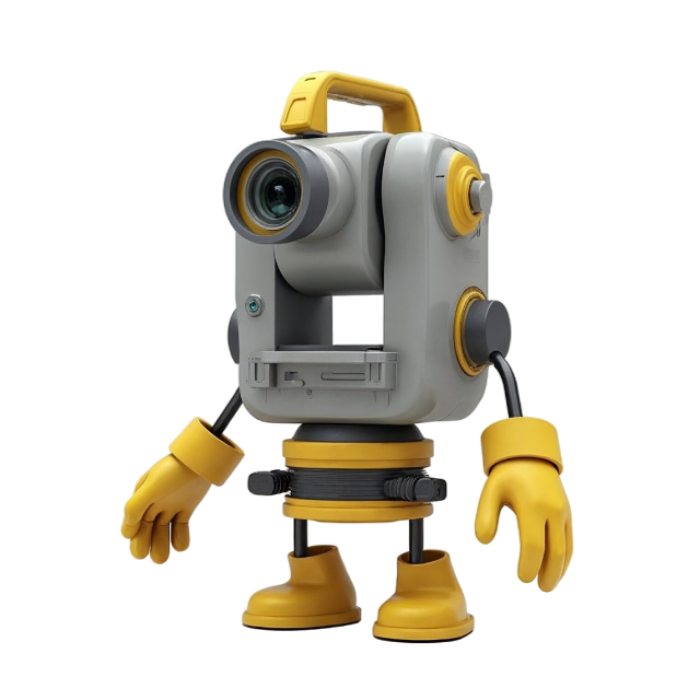
Say hello to Theo, our animated surveying icon bringing professionalism, wit, and clarity to every Blueprint Surveys update. Rather than wading through technical reports, Theo narrates insights in a clear, engaging voice. With audio integration (SoundCloud or embedded players), our posts become audio-enabled e-blogs you can listen to in the office, out on site, or on the move. That means no more scanning for key details—just press play and hear informed commentary on topographic surveys, laser scanning, AVR, and property tech. Theo’s refined presence makes complex surveying concepts accessible and memorable, so you stay up to date, entertained, and confident in your project decisions.
Clarity:
Insights And Surveying Industry Updates
Explore Blueprint Surveys’ News & Updates for in-depth articles, project spotlights, and technical insights. We discuss topics like photogrammetry vs laser scanning precision; how AVR supports planning applications; recent GNSS and GPS level survey innovations; street scene documentation best practices; tips for building surveys; and regulatory evolution affecting survey deliverables. Our blog helps homeowners, architects, planners and developers understand what matters in modern surveying. Stay current, informed, and confident in selecting survey services that deliver both quality and reliability.

Adding 360° Vitual Tours To Survey Deliverables
Blueprint Surveys now integrates Blueprint360View technology into its survey outputs, offering clients the option of 360° virtual tours alongside traditional deliverables. This enhancement transforms measured data into interactive digital environments, helping architects, planners, and developers visualise projects with clarity. The combination of precision surveys and immersive visuals accelerates decisions, improves communication, and strengthens project presentation


